🔎 Checked: 📄 IFCN list dated:
If you’re planning to hike in Madeira, don’t rely on guides from a year ago. Trail statuses change – sometimes because of maintenance work, sometimes because of landslides after heavy rain. I keep checking the official IFCN list so you know which routes are open, how much you’ll pay to walk them and how the new booking system works.
Current trail status – Madeira
Prefer to hike with a guide? Guided levada and mountain walks on Madeira, many with hotel pickup. Compare routes, reviews and prices on GetYourGuide.
✅ Fully open trails
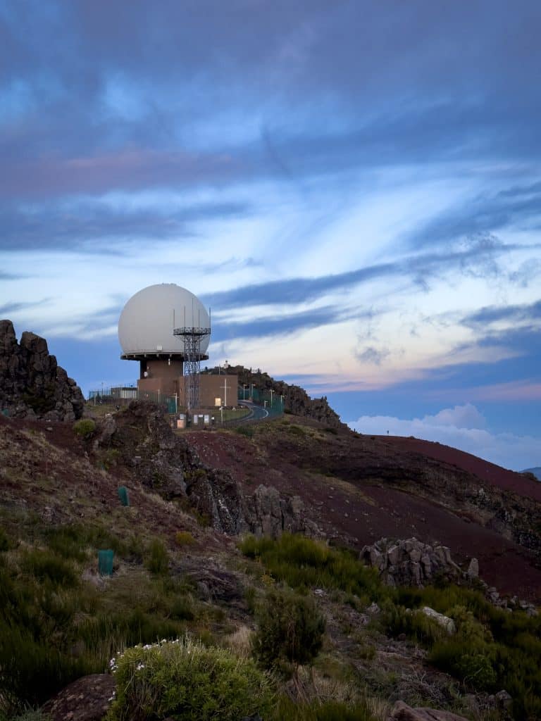
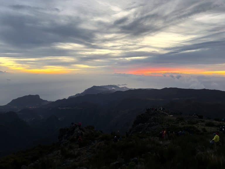
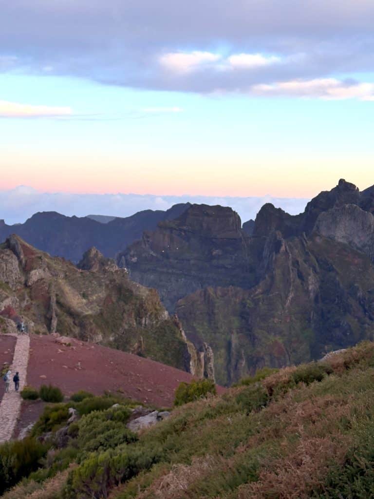
The iconic ridge trail from Pico do Areeiro (1818 m) to Pico Ruivo (1862 m) – fully reopened on 1 May 2026 after almost two years of closure caused by the wildfires of August 2024. You walk the vereda oeste (the western path, through the tunnels) in the Areeiro → Ruivo direction. The vereda este (the eastern path, via Pico das Torres) is closed. Rebuilt infrastructure: new boardwalks, railings and safety features made of fire-resistant materials.
⚠️ Traffic rules (IFCN, 24 July 2026): the Areeiro ↔ Miradouro da Pedra Rija section (km 1.2) is two-way; the Pedra Rija → Pico Ruivo section is one-way (vereda oeste through the tunnels; vereda este via Pico das Torres closed). From Pico Ruivo you descend to Achada do Teixeira (PR1.2, 2.8 km) or to Ilha (PR1.1, 8.2 km) – either way you’ll need transport (taxi/transfer). Fee: €10.50 (also covers PR1.1 and PR1.2). Booking required.
The descent from Pico Ruivo northwards to the village of Ilha in the municipality of Santana. A long one-way route – you’ll need to sort out how to get back, or bring a second car.
The climb to Pico Ruivo (1862 m, Madeira’s highest peak) from the Achada do Teixeira car park (1592 m). The shortest and easiest route to the summit – a fairly short climb for the reward of the view from the island’s highest point. The alternative is PR1 from Pico do Areeiro (a longer, demanding ridge route).
⚠️ The shortest way up Pico Ruivo. Booking through SIMplifica required.
A ridge route from Pico Ruivo to the Encumeada pass. It runs through two Natura 2000 ecosystems – the central massif and the laurel forest. Partly reopened.
⚠️ The Boca das Torrinhas – Encumeada section remains closed. The rest of the route can be walked.
A route from the deep Curral das Freiras canyon over the Boca das Torrinhas pass to the north coast. On the northern side the trail goes through laurel forest – the landscape changes noticeably halfway.
A descent from just below the summit of Pico do Areeiro (1818 m) through the Parque Ecológico do Funchal to the Ribeira das Cales valley. Managed by Câmara Municipal do Funchal (Funchal City Council) – no booking or IFCN fee needed.
A historic road linking the valley with Monte. Managed by Câmara Municipal do Funchal – no fees or booking. Often combined with PR3 into one longer day.
A route in the north-east of the island through the deeply cut Funduras valley. A demanding trail with big differences in altitude (max. 605 m, min. 175 m). One of the tougher classified trails in Madeira.
One of the most popular trails on the island. The levada leads to the waterfall at the 25 springs. One-way traffic applies – out along the levada, back on the alternative route (the Bypass). Book ahead, especially at weekends. More about PR6 and Risco →
⚠️ One-way traffic – out along the levada, back via the Bypass.
A branch from Rabaçal to the Risco waterfall. A fairly short and easy route that combines well with PR6 when you plan a day in the Rabaçal area.
A route to the source of the levada through heather forest. Quieter than PR6, with a calmer atmosphere. It starts from the same point in Rabaçal.
A short route to the Lagoa do Vento lake on the Paul da Serra plateau. Easy and suitable for less experienced walkers.
An old levada linking Pico Gordo with the forest warden’s house in Rabaçal. A one-way route – you need to arrange transport or return the same way.
A descent from the Paul da Serra plateau to 25 Fontes. An alternative starting point for PR6 if you’re coming from the south.
A short route through the old Túnel do Cavalo water tunnel to Rabaçal. An alternative way into the Rabaçal area.
A link between Rabaçal and the Túnel do Cavalo tunnel. A short stretch, usually walked in combination with other routes in the Rabaçal area.
A trail adapted for people with reduced mobility and for wheelchairs – a hard surface and no steep climbs. Certified Um Caminho para todos (“A path for everyone”).
Madeira’s easternmost headland – volcanic rock, not a single tree, full sun and wind. One of the most striking landscapes on the island. Set off in the morning or late afternoon – at midday, with no shade, it gets very hot. More about PR8 Ponta de São Lourenço →
⚠️ Trail restoration works (IFCN notice): from 30 September 2026 there are short, temporary detours on the route, marked with arrows. The trail stays open, and the disruption will last at least 270 days (until the end of June 2027 or longer). Follow the signs on site.
A classic levada walk through laurel forest to the Caldeirão Verde waterfall – one of the most beautiful trails in Madeira. Reopened on 29 May 2026 after a closure that began on 22 March 2026. According to the IFCN notice of 29 May 2026, the section to Caldeirão Verde is open. The onward section to Caldeirão do Inferno remains closed, even though the IFCN list describes the whole 8.7 km route. The walk starts from the Queimadas forest park (paid parking: €2 per hour, first 30 min free, max. €10 per day).
✅ Reopened on 29 May 2026, but only as far as Caldeirão Verde (about 6.5 km each way). The section to Caldeirão do Inferno is closed.
An accessible version of the first stretch of PR9, adapted for wheelchairs and people with reduced mobility. Certified Um Caminho para todos. It starts from Queimadas – a charming forest park with paid parking (€2 per hour, max. €10 per day).
A classic levada linking Ribeiro Frio with Portela. A beautiful route through laurel forest with views of the deep valleys in the east of the island. Reopened on 14 July 2026 after a longer closure.
A short, easy trail ending at a viewpoint over the central mountain range, with Pico Ruivo in the background. It starts by the Ribeiro Frio trout farm. A good choice for a day when you’re short of time, or with children.
Through the laurissilva laurel forest – ancient, mossy trees in the mist that look straight out of a fairy tale. It starts on the Paul da Serra plateau at about 1400 m above sea level. Bring a warm layer – the weather changes fast.
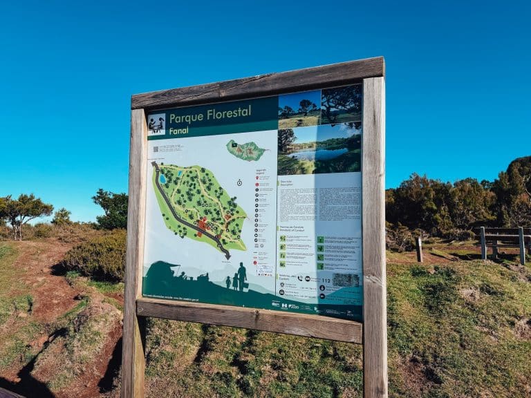
A short link between the Fanal area and 25 Fontes. Handy when you’re planning combined routes in the west of the island.
A levada through laurel forest between Fanal and Curral Falso in the north-west of the island. A peaceful route away from the crowds – it combines well with PR13 or PR15.
A descent from the laurel forest to the Ribeira da Janela valley on the north coast. Usually walked as a continuation of PR14.
A route on the north coast to the Ribeira do Inferno valley. Reopened at the end of April 2026. One of the more remote and wilder places in the west of Madeira.
One of the longer routes in Madeira, through the Folhadal laurel forest. Views of the island’s central ridge and the valleys on both sides.
⚠️ Only the Encumeada – Folhadal – Caramujo – Bica da Cana section can be walked. The rest is closed.
The King’s Levada in the north of the island, known for its exceptionally well-preserved laurel forest. The trail reopened in April 2026. More about Levada do Rei →
An old royal road leading down to the fishing village of Paul do Mar. Short but intense – a descent down steep slopes. At the bottom is a village known to surfers from all over Europe.
A short route from the Encumeada pass towards the north coast. Encumeada is one of the few places where, in good weather, you can see both coasts of the island at once.
A circular route (loop) through the Chão dos Louros laurel forest. A Natura 2000 area next to the Encumeada pass. A gentle walk without much climbing.
A short levada managed by Junta de Freguesia do Caniço (the Caniço parish council) – no fees or booking. An easy route in the east of the island, good for families with children.
Prefer to hike with a guide? Guided levada and mountain walks on Madeira, many with hotel pickup. Compare routes, reviews and prices on GetYourGuide.
⚠️ Partly open trails
A route through the Parque Ecológico do Funchal with a long descent. Managed by Câmara Municipal do Funchal – no IFCN fees. Only part of the trail is open.
⚠️ Only part of the route is open. Map of the open section →
A historic royal road across the central mountain range. Old paths linking south and north, used by islanders for centuries.
⚠️ Open only as far as km 3.5 from Boca da Corrida. Closed beyond that.
❌ Closed trails
A levada on the north coast between Ribeira da Cruz and Lamaceiros. The route runs through farmland and forest in the north of the island.
🔴 Closed.
A cliff descent to the village of Jardim do Mar on the west coast – a favourite with surfers. Short but steep.
🔴 Closed.
A route across the Paul da Serra plateau, following traces of Madeira’s ancient glaciation. Open heathland above 1400 m.
🔴 Closed.
A levada linking the Fanal area with Lombo da Atouguia via Rocha Vermelha. The route goes through deep laurel forest in the west of the island, far from the tourist trails.
🔴 Closed.
🏝️ Porto Santo – classified trails
Porto Santo has 3 classified trails managed by IFCN. As of 2 October 2026: 2 open, 1 closed. Porto Santo has a completely different character from Madeira – a dry, open landscape of volcanic hills instead of forests and levadas.
Porto Santo’s main walking route, up Pico Branco (450 m), the island’s second-highest peak after Pico do Facho (517 m). A panorama of the whole island and the Atlantic. A completely different feel from the trails in Madeira.
The climb up Pico do Castelo – Porto Santo’s historic lookout point. Two route lengths to choose from. When visibility is good, you can see Madeira on the horizon.
A route through the interior of Porto Santo along an old levada. It links several points in the centre of the island.
🔴 Closed.
🎫 How to book a trail in Madeira
Most trails require online booking through the SIMplifica portal. The system works with time slots and limits how many people can be on a trail at once.
Important: Popular trails (PR6, PR8, PR1.2) sell out fast – book 2–3 weeks ahead, especially in high season (April–October).
I explain how to do it step by step in my guide on how to buy trail tickets.
💶 Trail fees since January 2026
Since 1 January 2026, a new fee model has applied to the classified trails managed by IFCN. Booking is online through the SIMplifica portal.
🆓 Who doesn’t pay:
- Residents of the RAM (Região Autónoma da Madeira – the Autonomous Region of Madeira) on showing ID
- Children under 12
- People with a disability of ≥60% and their carers (a certificate must be shown)
Even people exempt from the fee must make a booking in SIMplifica.
Standard PR trails (managed by IFCN):
- Independent visitors: €4.50 per trail
- Customers of travel agencies with an IFCN agreement: €3.00 per trail
PR1 (Vereda do Areeiro) – after its full reopening:
- €10.50 (independent visitors) / €7.00 (with a licensed operator) (Portaria n.º 801/2025)
Multi-day passes:
- 1-day: €9 (with 2 trails it costs the same as 2 tickets, so it pays off from 3 trails in one day)
- 3-day: €22.50 (two or more trails within 3 days; with 5 trails it costs the same as 5 tickets, so it pays off from 6 trails)
- 7-day: €52.50 (two or more trails within 7 days, pays off from 12 trails)
Passes do NOT cover PR1. The system automatically charges the cheaper option (IFCN FAQ). Even with a pass you still need to book a slot.
🆓 Free trails (outside the IFCN system): PR3, PR3.1, PR4 (Câmara Municipal do Funchal) and PR23 (Junta de Freguesia do Caniço).
❓ More about the fees: FAQ – Fees & Classified Walking Routes (IFCN)
💡 Practical notes
⛰️ Pico Ruivo – two open routes: Two routes currently lead to Madeira’s highest peak (1862 m): PR1.2 from Achada do Teixeira (2.8 km, the easiest option) and PR1 from Pico do Areeiro (6.1 km, vereda oeste through the tunnels; one-way from Pedra Rija). PR1.3 from Encumeada is partly accessible again (the Boca das Torrinhas – Encumeada section is still closed).
🔄 Controlled one-way traffic: PR6 (25 Fontes) – out along the levada, back via the Bypass. IFCN staff enforce these rules on the trail.
♿ Trails for everyone: PR6.8 and PR9.1 have a firm surface and are adapted for wheelchairs (Um Caminho para todos).
🌧️ Check the day before: Levadas are sometimes closed at short notice after heavy rain. IFCN usually carries out inspections before reopening – this can take anything from a few hours to a whole day.
🔄 Statuses change: IFCN data: 2 October 2026, 17:10. Always double-check before you go:
ifcn.madeira.gov.pt · simplifica.madeira.gov.pt · visitmadeira.com
📜 Change log (click to expand)
- 17 October 2026 (09:40): PR9 correction: according to the IFCN notice of 29 May 2026, only the Queimadas – Caldeirão Verde section is open; the section to Caldeirão do Inferno remains closed (the IFCN list shows the whole 8.7 km route as open).
- 16 October 2026 (22:40): IFCN list check: no changes to the list since 2 October 2026, no new IFCN notices since 14 September 2026. New on the page: filters (status, area, fee), trail weather for 9 areas (today and tomorrow), and on every card the fee plus buttons for booking, the start on the map and my guide, where I’ve written about the trail. Removed the box about the PR1 reopening (the details are still in the PR1 card). Counts unchanged: 33 open, 2 partly open, 4 closed.
- 11 October 2026 (12:45): IFCN list check – no changes to the list since 2 October 2026 (17:10). No status changes. PR8 (Vereda da Ponta de São Lourenço): added a note about the trail restoration works from 30 September 2026 (IFCN notice) – short, signed detours, trail open, at least 270 days. PR1: note expanded – the descent from Pico Ruivo is via PR1.2 (Achada do Teixeira) or PR1.1 (Ilha), and the €10.50 ticket also covers PR1.1 and PR1.2. Counts unchanged: 33 open (including PR1, PR1.3 and PR17 with a section closed), 2 partly open, 4 closed.
- 2 October 2026 (17:10): IFCN update. No changes to statuses or route descriptions. Counts unchanged: 33 open (including PR1, PR1.3 and PR17 with a section closed), 2 partly open, 4 closed.
- 24 July 2026 (14:47): IFCN update. No status changes. PR1 (Vereda do Areeiro) description changed: the list now describes the whole route – the Areeiro ↔ Pedra Rija section (km 1.2) two-way, the Pedra Rija → Pico Ruivo section one-way; the wording limiting the walk to km 1.2 has gone. Counts unchanged: 33 open, 2 partly open, 4 closed.
- 14 July 2026 (16:06): IFCN update. PR10 (Levada do Furado) reopened after a longer closure. Counts: 33 open (including PR1, PR1.3 and PR17 with a section closed), 2 partly open, 4 closed.
- 18 June 2026 (09:11): IFCN update. PR1.3 (Vereda da Encumeada) partly accessible again – status ABERTO (open), except for the Boca das Torrinhas – Encumeada section, which remains closed. Counts: 32 open (including PR1, PR1.3 and PR17 with a section closed), 2 partly open, 5 closed.
- 29 May 2026 (08:44): IFCN update. PR9 (Levada do Caldeirão Verde) reopened after a closure that began on 22 March 2026 (IFCN notice: the Queimadas – Caldeirão Verde section). Counts: 30 open, 2 partly open, 6 closed.
- 6 May 2026 (07:51): IFCN update. Weather alert lifted, trails back to their normal statuses (the same as on 30 April). Counts: 29 open, 2 partly open, 7 closed.
- 4 May 2026 (16:48): IFCN: all 38 trails temporarily closed (ENCERRADO) because of an IPMA weather warning for 5 May 2026. The Eira do Serrado – Pico do Areeiro road closed. Trails will return to their previous statuses once the alert ends.
- 30 April 2026 (08:20): IFCN update. PR1 (Vereda do Areeiro) reopened after almost 2 years of closure – the wildfires of August 2024 destroyed the trail infrastructure, and the rebuild cost over €444,000. Walk via the vereda oeste (tunnels), one-way Areeiro → Ruivo, €10.50. Inaugurated during the MIUT (Madeira Island Ultra Trail) on 25–26 April; according to IFCN, full opening for visitors on 1 May. PR16 (Levada Fajã do Rodrigues) reopened. Cards put in numerical order. Trail search added. Counts: 29 open, 2 partly open, 7 closed.
- 26 April 2026 (04:52): IFCN update. No trail status changes. Counts unchanged: 27 open, 3 partly open, 8 closed.
- 16 April 2026 (15:52): IFCN update. PR18 (Levada do Rei) reopened. Removed the notice about the Rali de Santana (11 April – the event is over). Counts: 27 open, 3 partly open, 8 closed.
- 10 April 2026 (11:09): IFCN update. No trail status changes. IFCN notice: on 11 April 2026 the access roads to PR1.2 and PR9.1 closed 08:51–12:15 because of the Rali de Santana (trails walkable, but not reachable by car during that time). PR9 and PR18 still closed. Counts unchanged: 26 open, 3 partly open, 9 closed.
- 26 March 2026 (15:11): IFCN update. PR1.1 (Vereda da Ilha) reopened. PR5 (Vereda das Funduras) reopened. PR17 reclassified from partly open to open (accessible section Encumeada – Folhadal – Caramujo – Bica da Cana). Counts: 26 open, 3 partly open, 9 closed.
- 22 March 2026 (00:16): IFCN update. PR1.2 (Achada do Teixeira – Pico Ruivo) reopened – the only route to Pico Ruivo. PR9 closed entirely (previously open as far as Caldeirão Verde). PR1 reclassified as partly open (to km 1.2 / Miradouro da Pedra Rija). PR3 distance corrected: 6.7 km. Counts: 24 open, 4 partly open, 11 closed.
- 20 March 2026 (17:02): Most trails reopened. 19 open, 3 partly open, 12 closed. Pico Ruivo still inaccessible. Article rebuilt – every trail has its own card with a description. Porto Santo moved to a separate section.
- 19 March 2026 (9:28): IFCN: all 39 trails closed (ENCERRADO). Confirmed by SIMplifica and Visit Madeira.
- 17 March 2026 (17:27): PR1, PR1.1, PR1.2 closed. PR18 closed. PR17 closed. 18 open, 2 partly open, 13 closed.
- 4 March 2026 (22:40): Most trails open again after storm Regina. 24 open, 4 partly open, 8 closed.
- 3 March 2026: All trails closed because of the Regina depression (wind 120 km/h, waves 11 m).
- 1 March 2026: PR2 fully open, PR6 bypass working normally.
- 11 February 2026: PR6 bypass temporarily closed for maintenance.
- 29 January 2026: Article first published.
📚 Sources
- IFCN (Instituto das Florestas e Conservação da Natureza – Madeira’s Institute of Forests and Nature Conservation), official list of percursos pedestres classificados (classified walking routes), updated 2 October 2026, 17:10 – ifcn.madeira.gov.pt
- The SIMplifica portal – the IFCN trail booking system
- Visit Madeira – Madeira’s official tourism website, used to cross-check statuses
- Portaria n.º 801/2025 of 10 December 2025 – the regulation on IFCN fees
- Portaria n.º 48/2026 of 13 February 2026 – the first amendment to the fees regulation
This article is based on official IFCN documents. If you spot anything inaccurate or have up-to-date news from the trail, let me know in the comments.
To the trailhead by car: many trailheads, such as Pico do Arieiro or Fanal Forest, can’t be reached by public transport. Compare car hire prices at Madeira Airport (FNC) on DiscoverCars.