- What it is: the Laurisilva, Madeira’s ancient laurel forest, on the UNESCO list since 1999. It covers about 15,000 ha, roughly 20% of the island, mostly in the north.
- Easiest: Ribeiro Frio and the short PR11 trail to the Balcões viewpoint (1.5 km each way, about 1.5 h there and back).
- Most beautiful: PR9 from Queimadas to the Caldeirão Verde waterfall: four tunnels and a waterfall of about 100 metres.
- Tickets: the forest parks are free, while a PR trail costs €4.50 per person over 12 and needs a time-slot booking on SIMplifica.
- Weather: the forest is usually 6–8°C cooler than Funchal and often misty. Bring a fleece and a rain jacket.
- Other trails: you’ll find 12 routes compared in my ranking of the best hikes in Madeira.
10 November 2023. An organised jeep tour of the east of the island stops at Ribeiro Frio. A narrow path runs along a levada, over a little stone bridge across a stream, between ferns and moss-covered rocks. Through narrow cuttings in the rock I reach Balcões, with mist hanging over the treetops. By the path, behind a wire fence, a turkey is puffing itself up. This is the laurel forest Madeira is famous for, and this is the easiest place to see it. Below I explain what the Laurisilva is, where to see it and which trails run through it.
Links marked are affiliate links: if you book something through them, I earn a small commission · why?
Enjoying this guide? I’m really glad. It’s possible because some of the links are affiliate links – I mark them with an arrow. It doesn’t cost you anything extra. How this guide makes money
What is the laurel forest (Laurisilva)?
The Laurisilva is a forest dominated by trees of the laurel family, relatives of the bay laurel. Tens of millions of years ago, similar forests covered much of southern Europe. When the climate cooled, they survived mainly on the Atlantic islands: Madeira, the Canary Islands and the Azores. That is why the Laurisilva is called a Tertiary relic, or a “living fossil”.
Madeira has the largest surviving forest of this kind in the world. On 2 December 1999 UNESCO added it to the World Heritage List as “Laurisilva of Madeira”. According to UNESCO, about 90% of the area is primary forest that has never been felled, and some trees may be more than 800 years old. The whole forest lies within the Parque Natural da Madeira (Madeira Natural Park) and the Natura 2000 network.
The laurel forest in numbers
Trees and birds
The forest is made up of four endemic trees of the laurel family. They are usually known by their Portuguese names, so here they are with their Latin ones: til (Ocotea foetens), vinhático (Persea indica), loureiro (Laurus novocanariensis) and barbusano (Apollonias barbujana). Alongside them grow, among others, folhado (Clethra arborea), while mosses, liverworts and ferns cover the trunks and rocks. The best place to see old til trees, gnarled and draped in lichen, is the Fanal forest.
Two endemic birds live in the forest: the Madeira laurel pigeon (Columba trocaz, pombo-trocaz in Portuguese) and the Madeira firecrest (Regulus madeirensis, bis-bis), a tiny relative of the goldcrest. The firecrest and the chaffinch are the easiest to spot. The shy laurel pigeon is more likely to turn up at Queimadas than at Ribeiro Frio.
Forest, mist and water
On Madeira’s northern slopes, clouds hang between 800 and 1600 m on more than 200 days a year. The forest catches moisture from mist and rain and holds it in the soil. UNESCO stresses that the water balance of the whole island depends on it. The forest zone gets about 1000–2000 mm of rain a year, Funchal about 550 mm. For centuries, levadas – irrigation channels, with walking paths alongside them today – have carried water from the north to the dry south. I write more about them in my guide to levada walks in Madeira.
Where to see the laurel forest in Madeira
You can see the forest itself without a ticket: in the Ribeiro Frio, Queimadas and Chão dos Louros forest parks and in the Fanal meadow. For the PR trails through the Laurisilva you need a €4.50 ticket and a booked start time (details below). The main routes:
| Trail | Length | Time | Difficulty | What you’ll see |
|---|---|---|---|---|
| PR11 Vereda dos Balcões (Ribeiro Frio) | 1.5 km each way | about 1.5 h there and back | easy | a viewpoint over a forested valley |
| PR9 Levada do Caldeirão Verde (Queimadas) | about 6.5 km each way (currently only to Caldeirão Verde) | about 4.5–5 h there and back | moderate | tunnels and a waterfall of about 100 m |
| PR10 Levada do Furado (Ribeiro Frio → Portela) | 11 km one way | about 5 h | moderate | one of the oldest levadas on the island; closed since 2 November 2026 |
| PR18 Levada do Rei (São Jorge) | 5.3 km each way | about 3.5 h there and back | moderate | the densest forest at the end, in the Ribeiro Bonito gorge |
| PR6 25 Fontes and PR6.1 Risco (Rabaçal) | 4.3 km and 3 km each way | about 3 h and 2 h | moderate / easy | waterfalls, forest in the valley below the trail |
| PR13 Vereda do Fanal | 10.8 km | about 4 h | moderate | old til trees in a meadow, often in mist |
| PR22 Vereda do Chão dos Louros | 1.9 km (loop) | about 45 min | easy | a short walk deep in the forest near Encumeada |
Ribeiro Frio and Balcões: the forest in an hour
Ribeiro Frio is a small hamlet on the ER103 road from Funchal to Santana, at about 870 m. From Funchal it takes about 30–40 minutes via Monte and Poiso. Around it is a forest park (Parque Florestal do Ribeiro Frio) with benches, a café and a rainbow trout farm that IFCN uses to stock the island’s streams. Entry to the trout farm costs €3 (children under 12 free).
This is where the PR11 Vereda dos Balcões starts. It’s 1.5 km of almost flat path along the Levada da Serra do Faial, through the forest and narrow rock cuttings, to the Balcões viewpoint. From the balcony you look out over valleys covered in Laurisilva and, on a clear day, Pico do Arieiro, Pico das Torres and Pico Ruivo. I walked it in November, when mist was hanging over the treetops.
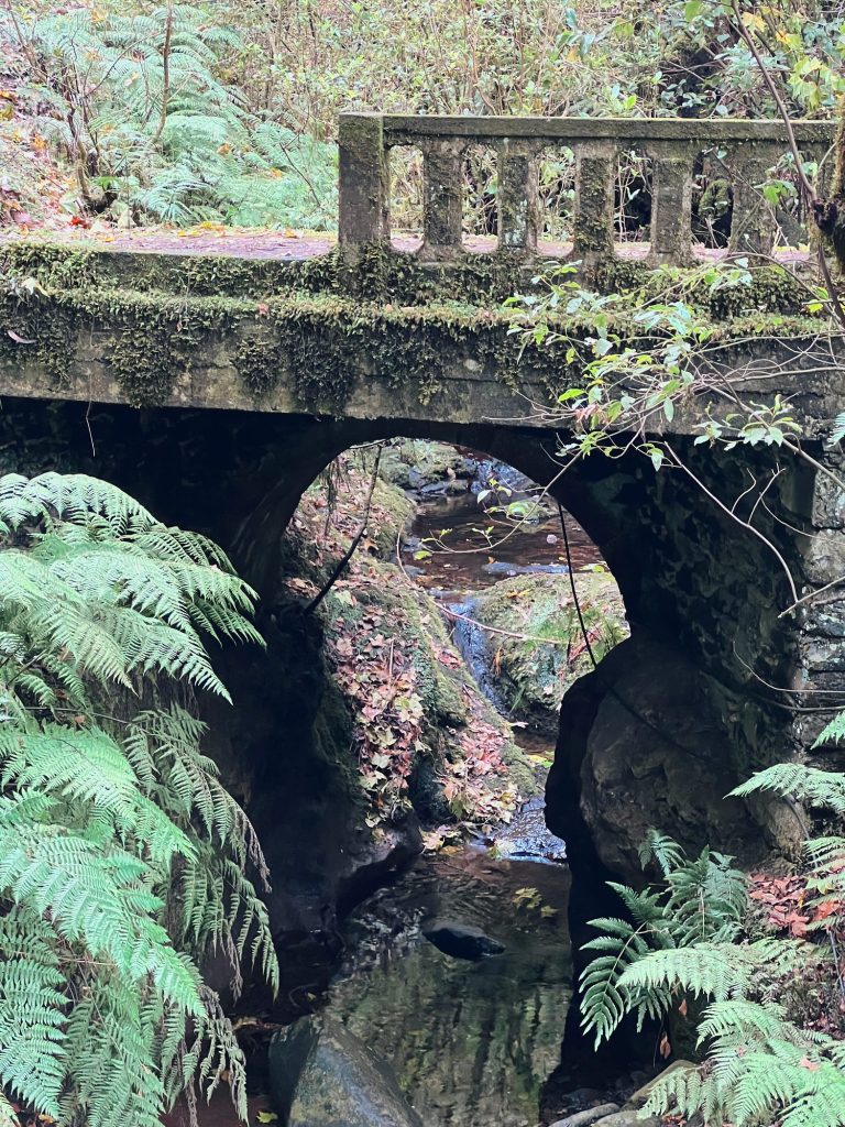
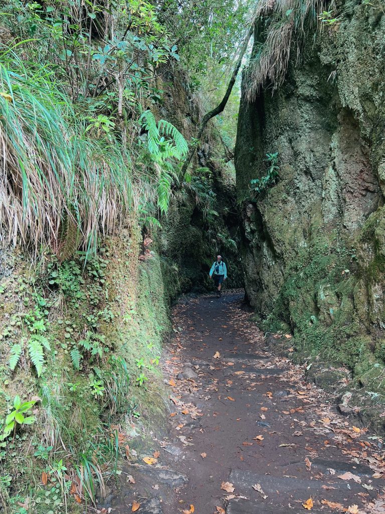
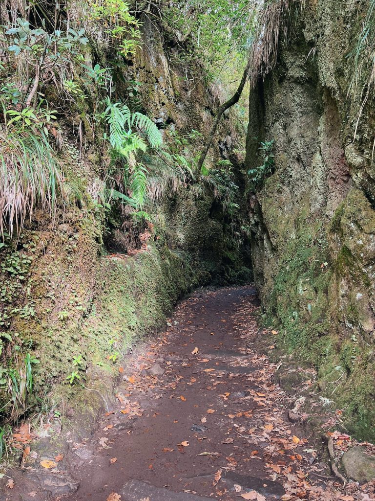
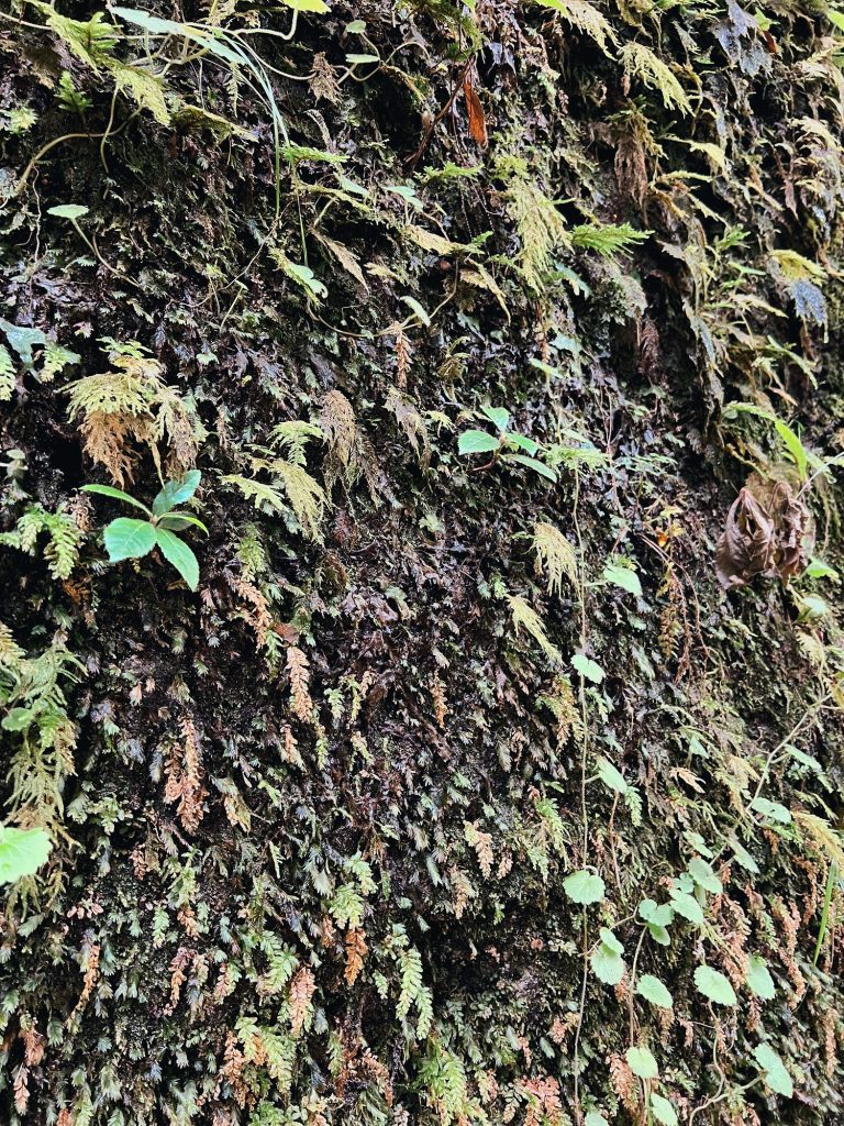
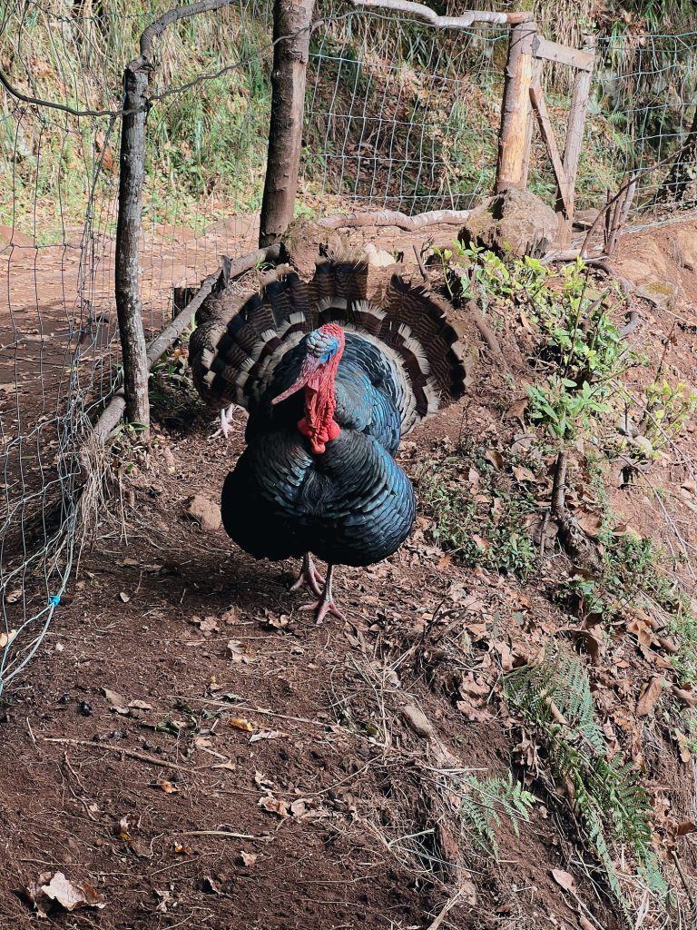
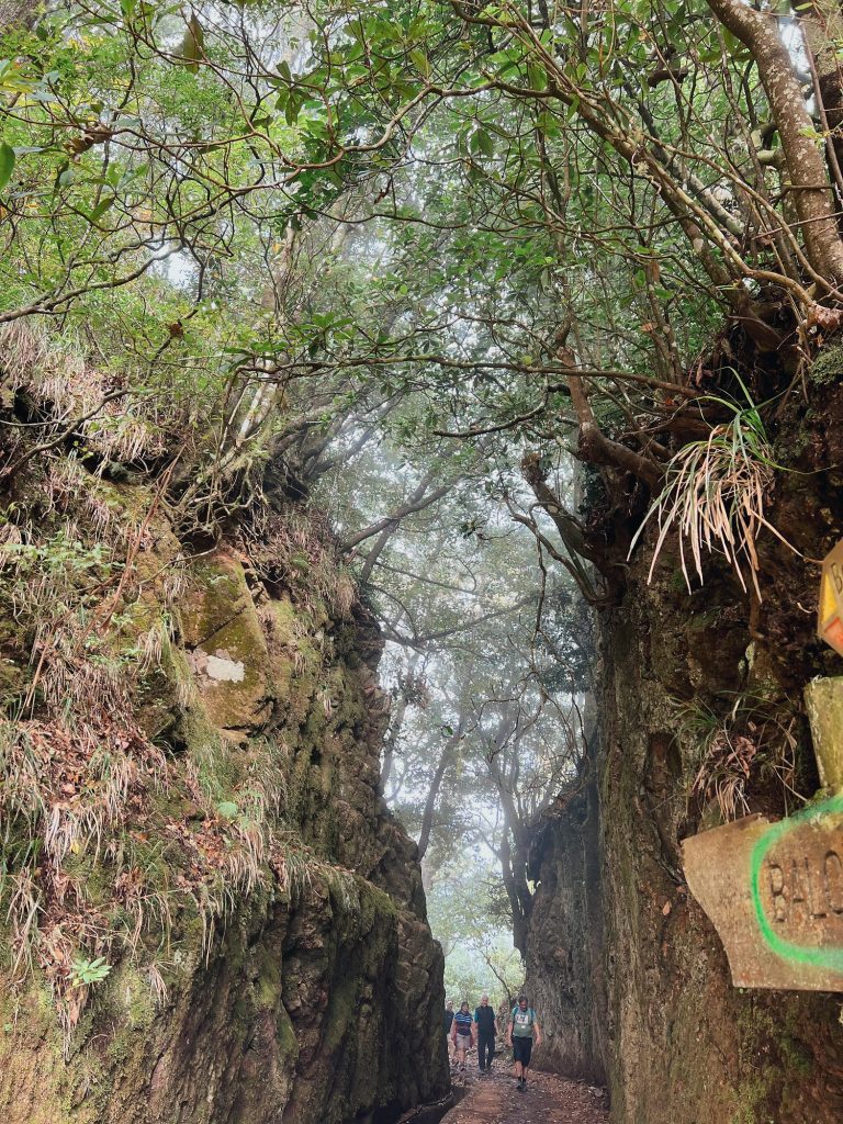
1: Stone bridge over a stream at Ribeiro Frio, 2: The path along the Levada dos Balcões, 3: Rock cutting on the PR11 trail, 4: Ferns and mosses on the rock by the levada, 5: A turkey by the path to Balcões, 6: The last rock cutting before the Balcões viewpoint. Photos: Ewelina Podrez-Siama 2023
Ribeiro Frio is also the start of the longer PR10 Levada do Furado: 11 km one way to Portela, about 5 hours. The trail was closed from December 2025 after the path collapsed, reopened on 14 July 2026 and has been closed again since 2 November 2026 after a landslide between Ribeiro Frio and Lamaceiros. Check the current situation on the trail status page.
Queimadas and Caldeirão Verde (PR9): the forest for a whole day
Parque Florestal das Queimadas lies 4 km above Santana, at about 880 m. By the car park stand thatched cottages, and all around grow old til trees, tree heather and pau-branco (Picconia excelsa). The IFCN car park costs €2 an hour: the first 30 minutes are free, and a full day costs no more than €10. There’s no bus; by car from Funchal it’s about 45 km and about 50–55 minutes.
Queimadas is the start of PR9 Levada do Caldeirão Verde, the most popular trail through the Laurisilva. The levada carries water to the fields of Faial parish, and the path goes through four tunnels (a head torch helps) to a rocky cauldron with a waterfall of about 100 m. Since 29 May 2026 only the section to Caldeirão Verde has been open, about 6.5 km each way. The section beyond it to Caldeirão do Inferno has been closed since at least February 2023. On SIMplifica you can book PR9 start times from 8:00 to 14:00 (as of October 2026), so set off early.
Fanal, Rabaçal, São Jorge and Chão dos Louros
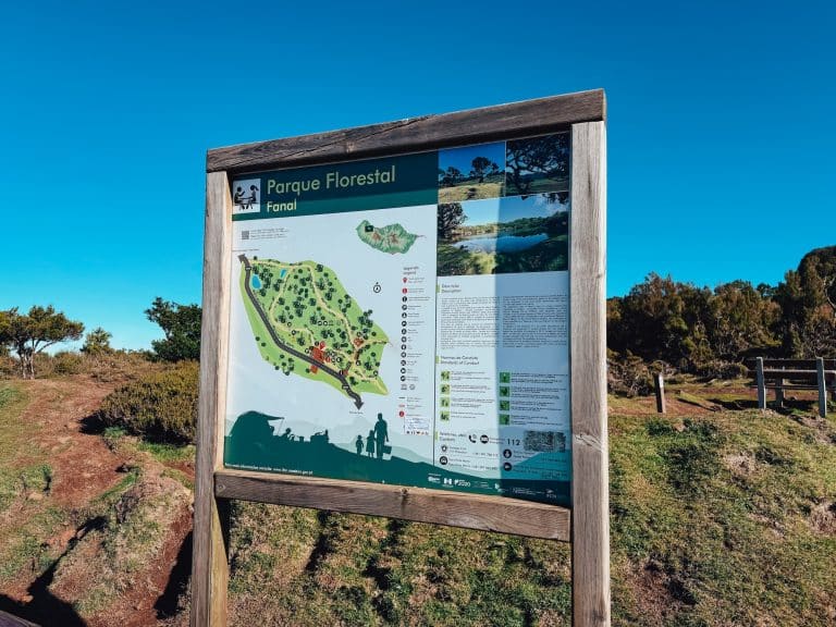
- Fanal on the Paul da Serra plateau means old til trees in a green meadow, usually in mist. It lies at the upper edge of the laurel forest, but within the UNESCO site. Entry to the meadow is free. I was there on 10 February 2026 on a jeep tour of the west of the island, and we stopped for lunch at a little restaurant with its own patch of Laurisilva (I describe it in my guide to Seixal).
- Rabaçal (PR6 and PR6.1): at the height of the trails it’s mainly tree heather, and the laurel forest is in the Ribeira da Janela valley below. What you do get are the 25 Fontes and Risco waterfalls.
- São Jorge (PR18 Levada do Rei): the first part of the trail runs through mixed woodland, and the densest Laurisilva starts closer to the end, in the Ribeiro Bonito gorge.
- Chão dos Louros by the Encumeada pass: a forest park with benches and the short PR22 loop (1.9 km) deep in the forest. A good stop if you’re driving across the island to the north.
Mist, rain and temperature
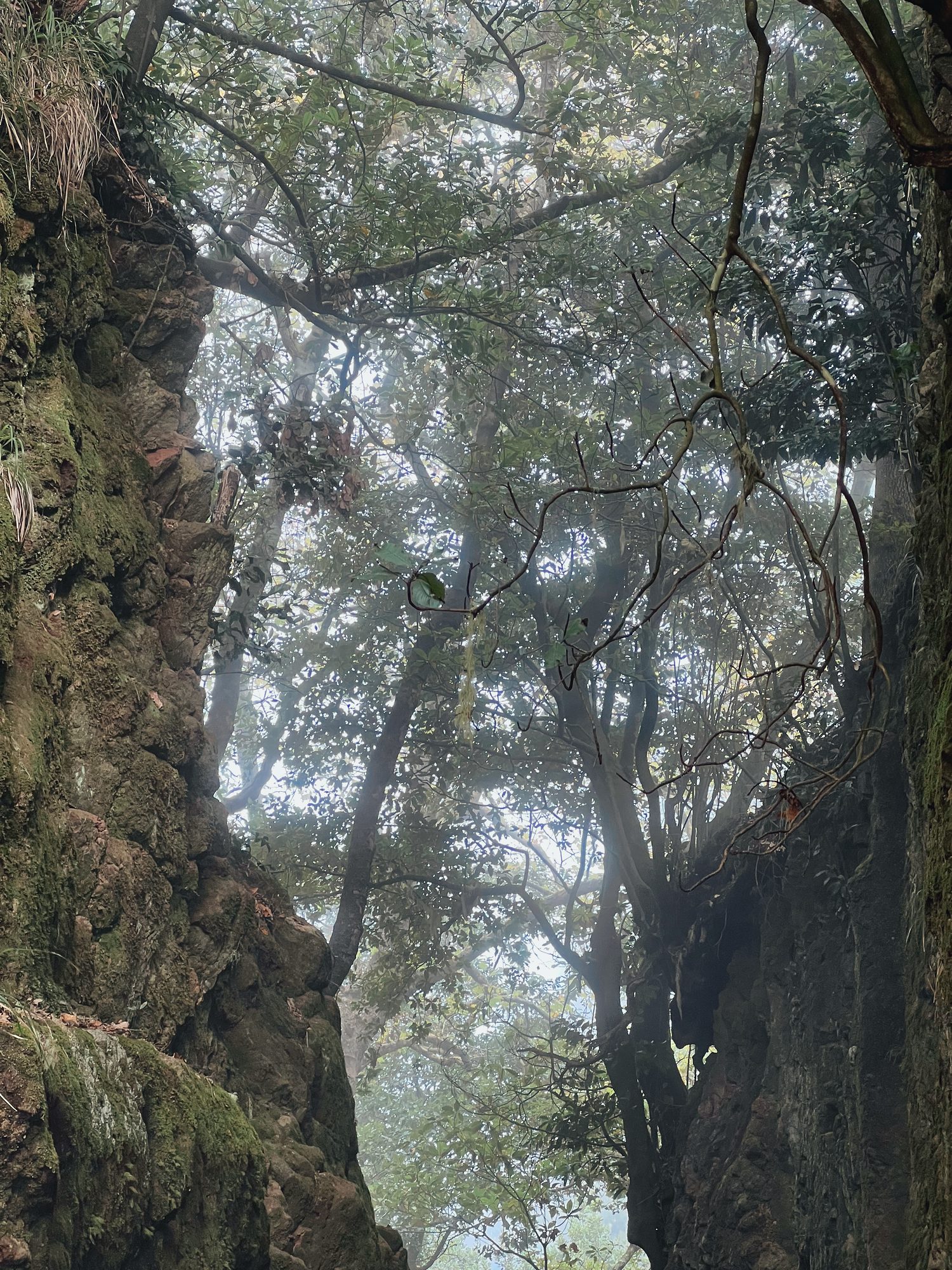
The laurel forest grows where the clouds stop, so mist is normal here all year round. At 800–1000 m it’s on average 6–8°C cooler than in Funchal, and in winter, at night and in the morning the temperature drops to just a few degrees. Take a fleece, a rain jacket and shoes with a good grip, because the paths along the levadas are often wet and slippery.
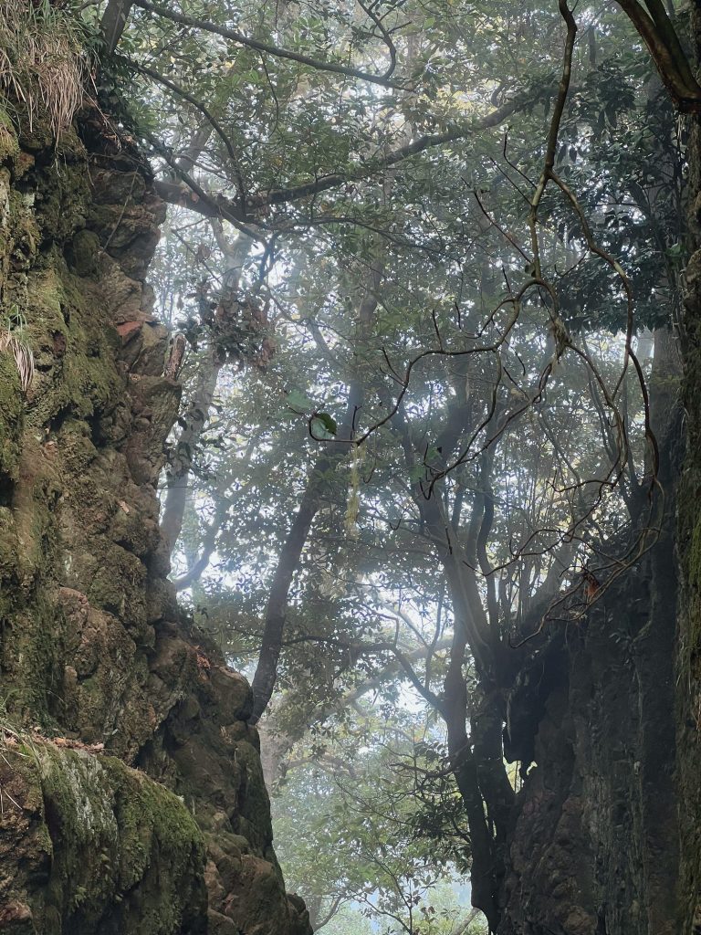
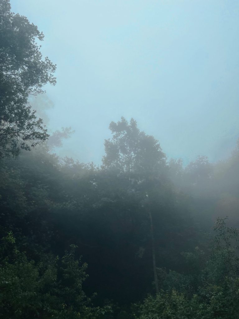
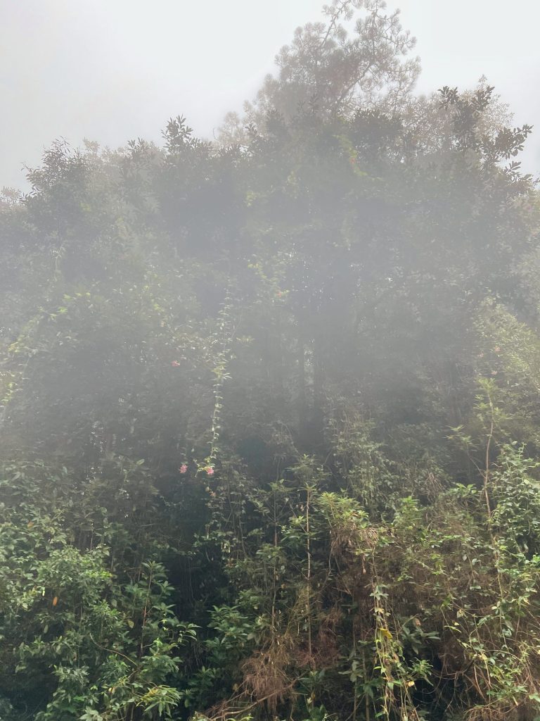
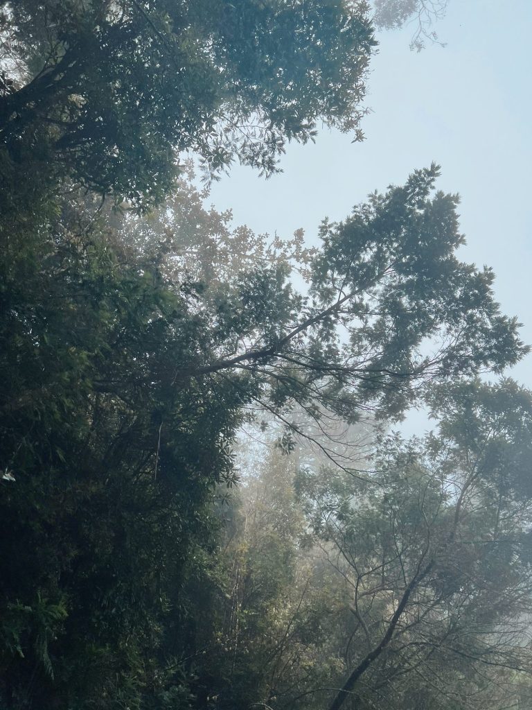
1: Old trees near Balcões, 2: Mist in the treetops, 3: Mist over the forest, 4: Inside the forest in the mist. Photos: Ewelina Podrez-Siama 2023
Before you set off, check the Madeira weather and the webcams. When weather warnings are issued, IFCN closes all trails, and I keep track of current closures on my trail status page.
Tickets for the laurel forest trails
Since 1 January 2026 every PR trail managed by IFCN has cost €4.50 per person over 12. Even if your entry is free, e.g. with a child, you still have to book a start time on the SIMplifica portal. If you’re doing two trails in one day, buy the €9 day pass. There are also 3-day (€22.50) and 7-day (€52.50) passes. The forest parks at Ribeiro Frio, Queimadas and Chão dos Louros and the Fanal meadow need no ticket. I explain how to buy a ticket step by step in my guide to Madeira hiking trail tickets.
How to get to the laurel forest
By car
To Ribeiro Frio you drive from Funchal via Monte and Poiso (ER103): 17–19 km and about 30–40 minutes on a winding mountain road. The quickest way to Queimadas is on the expressways via Santana. With a car you can combine Ribeiro Frio in the morning and Queimadas in the afternoon in one day: from Ribeiro Frio to Santana is about 18 km and about 20 minutes.
A car is the easiest way to explore the laurel forest. There’s no bus to Queimadas, and with a car you can combine Ribeiro Frio and Queimadas in one day.
By bus
Route 801 (formerly 56) from Funchal to Santana via Poiso passes through Ribeiro Frio. Departures from Funchal: on weekdays at 8:10, 9:00 and 10:00, on Saturdays at 10:00, on Sundays and public holidays at 10:30. A ticket from the driver costs €2.65. Return buses from Santana are infrequent, so check the timetable before you go. The bus doesn’t go to Queimadas: from the centre of Santana it’s 4 km uphill.
On a tour
Organised tours of the east of the island often stop at Ribeiro Frio, and those heading west at the Fanal forest. Both times, I saw the laurel forest on just such a tour. Guided trail walks and transfers to PR9 are in the boxes in this guide, and you’ll find more ideas in my guide to Madeira tours.
The laurel forest in one day
- Morning at Ribeiro Frio: the PR11 trail to Balcões and back (about 1.5 h) and a stroll by the trout farm.
- Drive via Faial to Santana (about 20 minutes) and lunch.
- Queimadas: PR9 to the Caldeirão Verde waterfall, if you have a booking and the energy for about 5 hours of walking. If not, a short stroll around the forest park.
- Back to Funchal on the expressways, about 50 minutes.
If you’re planning a longer stay, you’ll also find laurel forest days in my Madeira itinerary planner.
Laurel forest: frequently asked questions
Where is the easiest place to see the laurel forest in Madeira?
At Ribeiro Frio, about 30–40 minutes by car from Funchal. The forest park is free, and the short PR11 trail to the Balcões viewpoint is 1.5 km each way and takes about 1.5 hours there and back.
Do you have to pay to visit the laurel forest?
The forest parks (Ribeiro Frio, Queimadas, Chão dos Louros) and the Fanal meadow are free. PR trails cost €4.50 per person over 12 and need a booked start time on the SIMplifica portal.
Is Fanal part of the laurel forest?
Yes. Fanal lies within the UNESCO site “Laurisilva of Madeira”, at the upper edge of the forest. Old til trees, one of the main Laurisilva species, grow there, but instead of dense forest it’s a meadow with scattered trees.
When was the laurel forest added to the UNESCO list?
In 1999 (on 2 December). The “Laurisilva of Madeira” site covers about 15,000 ha, roughly 20% of the island, and about 90% of it is primary forest.
Which laurel forest trail should I choose?
For an hour: PR11 to Balcões. For half a day: PR18 Levada do Rei or PR6 to 25 Fontes. For a full day: PR9 from Queimadas to the Caldeirão Verde waterfall (about 6.5 km each way). PR10 from Ribeiro Frio to Portela (11 km) has been closed since 2 November 2026.
Can I get to the laurel forest by bus?
To Ribeiro Frio, yes: route 801 from Funchal to Santana. There’s no bus to Queimadas; the nearest stop is in the centre of Santana, 4 km below. Without a car, the easiest way to do PR9 is an organised transfer.
Want to see my guides more often on Google?
Add madeira-planner.com as a preferred source on GoogleData checked: 31 October 2026.
Sources I used (22)
- UNESCO and protection: UNESCO – Laurisilva of Madeira; IFCN – Laurissilva da Madeira; Visit Madeira – Floresta Laurissilva
- Places and trails (Visit Madeira, IFCN): Ribeiro Frio; Queimadas; Chão dos Louros; PR11; PR9; PR10; PR13; PR18; PR22; IFCN – list of trails
- Fees and bookings: Portaria 48/2026 – fees; SIMplifica – trail tickets
- Weather and science: DREM – temperature; DREM – rainfall; Prada et al. 2009 – fog in Madeira’s forests
- Media: DNoticias – PR9; JM – PR10; DNoticias – 2024 wildfires; DNoticias – drones