- Where: a small town on the south-west coast, about 25 km from Funchal (around 30 minutes by car), 4255 inhabitants in the parish (2021 census).
- Beach: pebbles, about 160 m long, lifeguards in season (in 2026 from 10 June to 14 September).
- Quay: Cais da Ponta do Sol from 1849, with a basalt arch, now home to a restaurant and bar.
- Bus: line 380 daily at 10:00 from Funchal, ticket from the driver €2.65, cash only.
- Watch out: walking to the Cascata dos Anjos waterfall is prohibited, and the old road below it has been closed since 2016.
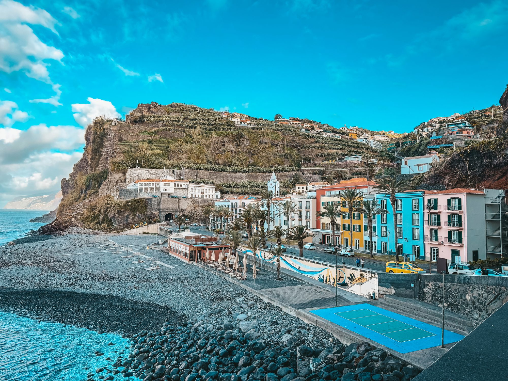
10 February 2026, early morning, the first stop of a jeep tour to the west of the island. The smell of the ocean, waves crashing against black rocks, and colourful houses below a cliff terraced with banana plants, looking like a stage set. That’s exactly how I remember Ponta do Sol: views out of this world, and the whole town like something out of a film. Below I cover what to see, where to swim, what to avoid and how to get here from Funchal.
Where is Ponta do Sol?
Ponta do Sol is a small town (vila) and the seat of a municipality on Madeira’s south-west coast, between Ribeira Brava and Calheta. The municipality has three parishes: Ponta do Sol, Canhas and Madalena do Mar. In 2021 it had 8360 inhabitants, 4255 of them in Ponta do Sol itself. The name, “sun point”, comes, according to Visit Madeira, from the rocky headland that reflects the sun’s rays. King Manuel I granted the town its charter in 1501, when sugar cane growing was booming here.
Ponta do Sol is said to be the sunniest place on the island. There are no figures to prove it, because the nearby weather station in Lugar de Baixo doesn’t measure sunshine hours. It does measure temperature, though, and it’s the warmest station in Madeira: an average of 21°C in 2012–2025, half a degree more than in Funchal. It rains here about as much as in the capital.
| From Ponta do Sol to | Distance | By car |
|---|---|---|
| Ribeira Brava | 5 km | about 7 min |
| Calheta | 10.5 km | about 15 min |
| Funchal | 25 km | about 30 min |
| Airport (FNC) | 40 km | about 40 min |
| Fanal Forest (via Paul da Serra) | 27 km | about 50 min |
What to see in Ponta do Sol
The quay and its 1849 arch
The most cinematic spot in town is Cais da Ponta do Sol. The quay opened on 9 September 1849 and was designed by the engineer Tibério Augusto Blanc. A wide, semicircular basalt arch links it to the cliff. You walk through it like a gateway: out of the shade between the stone walls and straight onto the ocean. By the entrance you can still see the old prison carved into the rock. It was once the safest landing stage on the south-west coast; today there’s a restaurant with a bar.
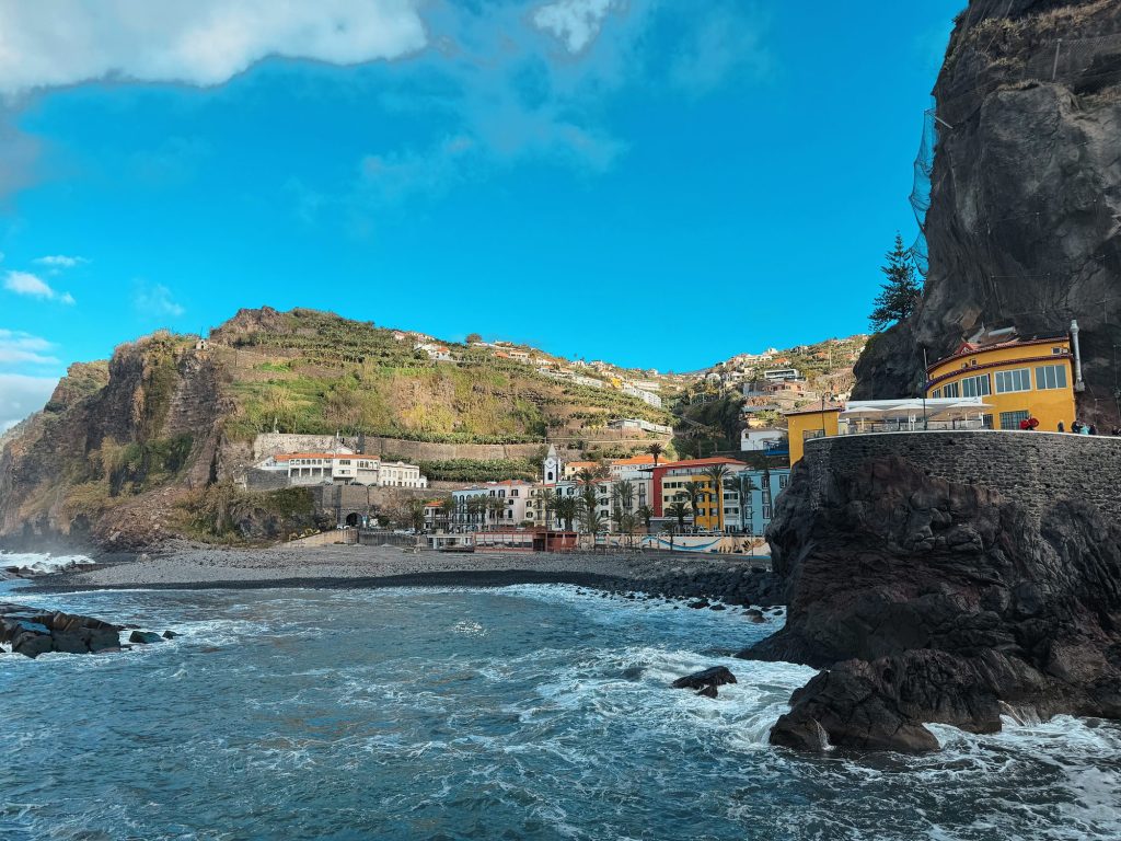
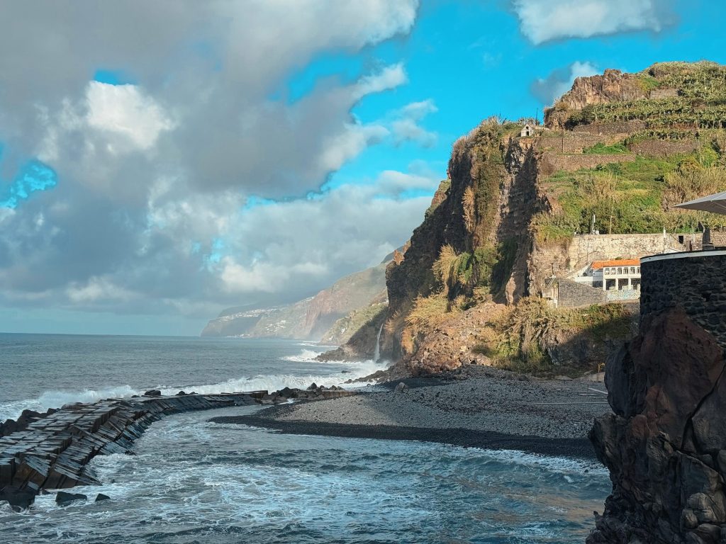
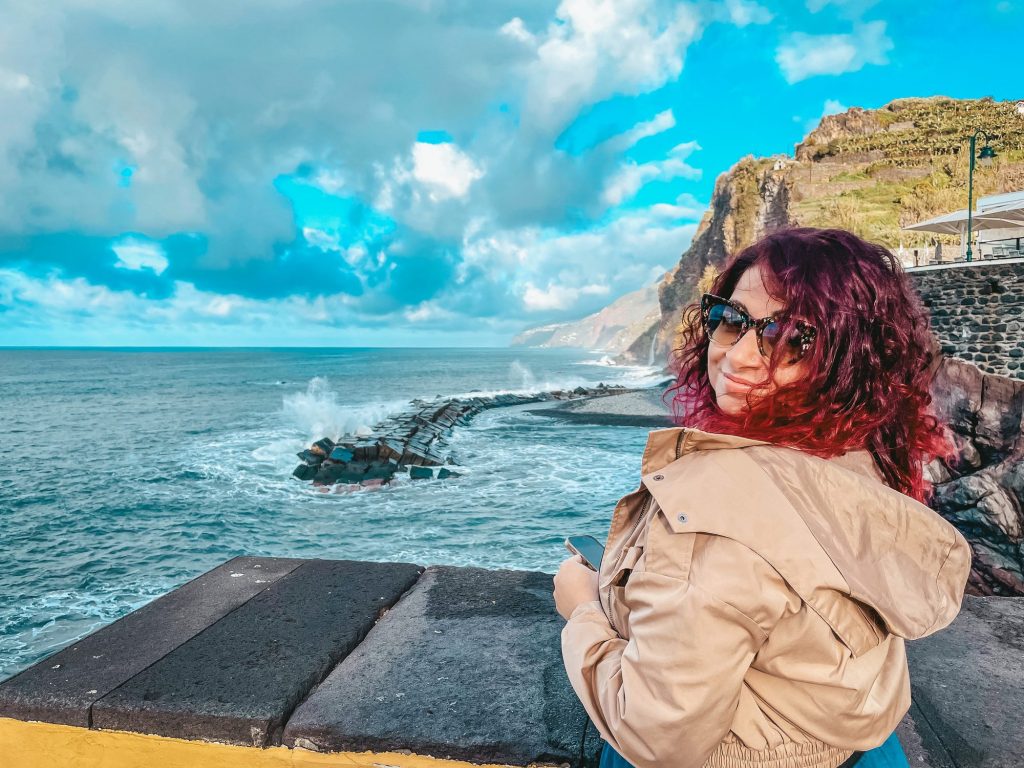
1: Ponta do Sol from behind the rock by the quay (2026), 2: The breakwater and beach in Ponta do Sol (2026), 3: On the wall above the beach in Ponta do Sol, February 2026. Photos: Ewelina Podrez-Siama
The beach
The beach in Ponta do Sol is made of smooth pebbles and is about 160 m long. It sits in a small bay sheltered by cliffs, next to a promenade lined with colourful houses. There are changing rooms, toilets, a bar, a games area and, in summer, a small library. The water has the top quality rating. In 2026 lifeguards were on duty from 10 June to 14 September. It’s the only beach in the municipality with lifeguards, and it didn’t get a Blue Flag in 2026.
A few kilometres away there are two more beaches: in Lugar de Baixo and in Madalena do Mar (pebbles with black sand). Both are official bathing areas, but neither has lifeguards. I cover natural pools in my guides to Seixal and Porto Moniz.
Nossa Senhora da Luz church
The white tower above the houses belongs to the parish church of Nossa Senhora da Luz, built at the end of the 15th century. The façade was rebuilt in 1708 to enlarge the church. Inside, look up: above the chancel there’s a mudéjar-style wooden ceiling, and the walls are covered with azulejos (painted tiles). The green ceramic font is said to have come from Seville. The high altar is gilded, with five oil paintings.
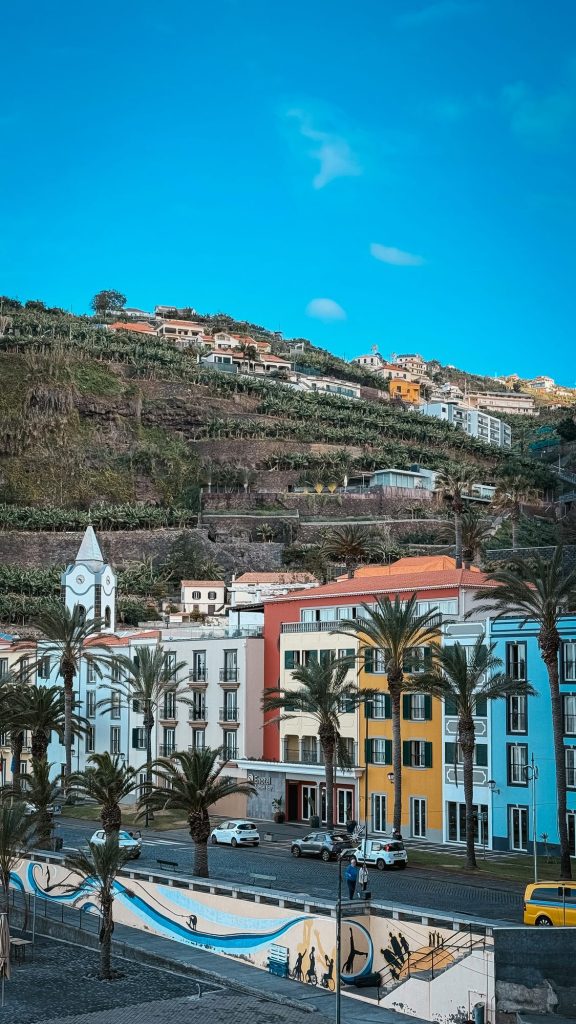
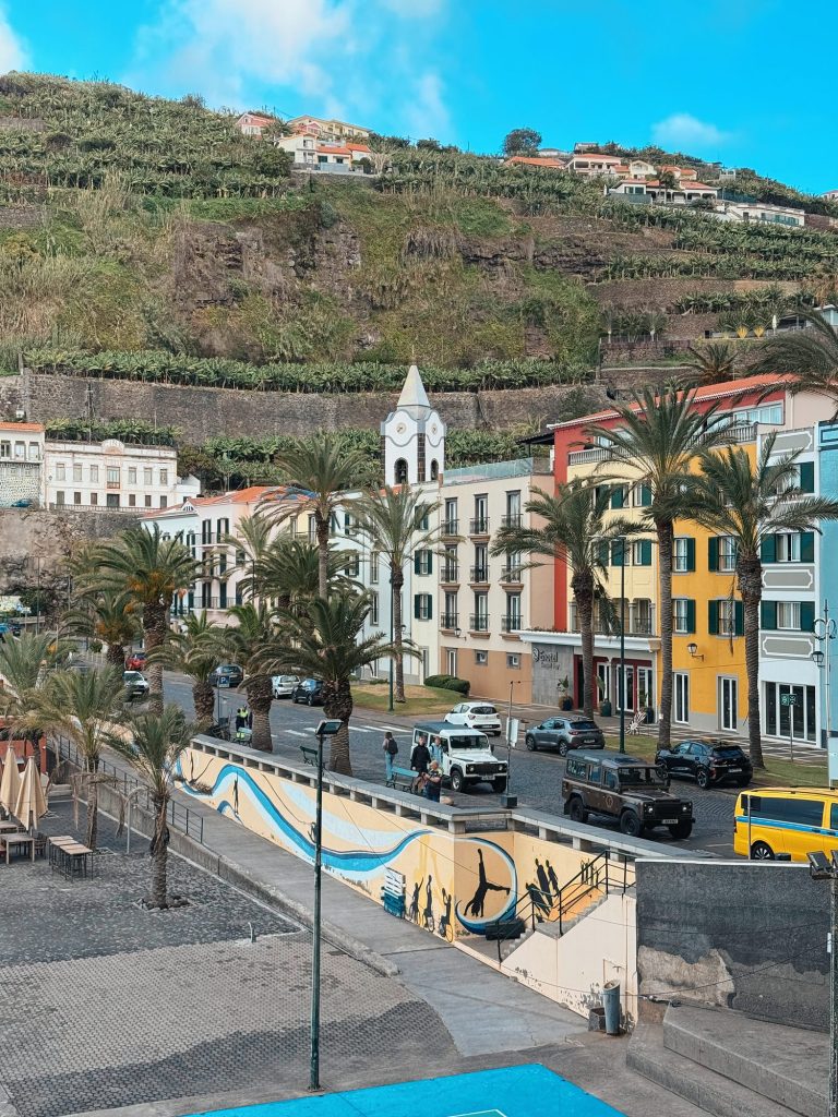
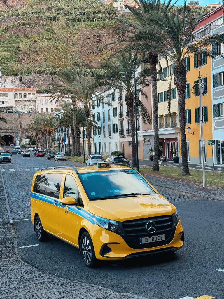
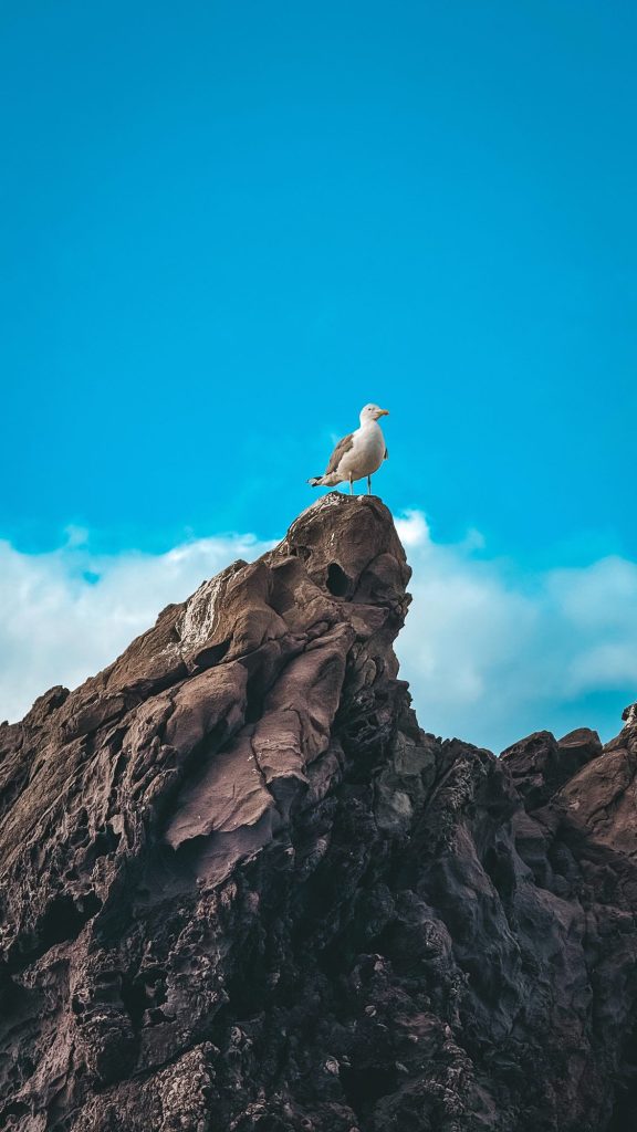
1: Houses and the church in Ponta do Sol, 2: The centre of Ponta do Sol with the church, 3: A taxi in Ponta do Sol, 4: A seagull on a rock by the quay. Photos: Ewelina Podrez-Siama 2026
John Dos Passos Cultural Centre
The grandfather of the American writer John Dos Passos, Manoel Joaquim Dos Passos, came from Ponta do Sol before emigrating to the USA. The writer visited Madeira as a child in 1905 and came back in 1960 with his wife and daughter. The 19th-century house that belonged to his relatives is now the Centro Cultural John dos Passos: an exhibition about the writer, a library and exhibition rooms. It’s open Monday to Friday, 9:00–17:30.
The same building houses Digital Nomads Village, a free coworking space. In 2021 Ponta do Sol became Madeira’s first “digital nomad village”, and the project says it still welcomes newcomers.
Lugar de Baixo: the lagoon and the banana museum
Two kilometres east, in Lugar de Baixo, lies Lagoa do Lugar de Baixo, the only tidal lagoon in the whole archipelago. Migrating birds stop here, and from the shore you can spot great egrets and moorhens, among others. Next door is the Museu da Banana da Madeira (BAM): a museum, greenhouses and a banana plantation run by the regional company Gesba. A ticket costs €9; check the opening hours before you go, because sources give different ones.
Above the lagoon you can see the remains of a marina that opened in October 2004 and was wrecked by the waves as early as February 2005. The site is still closed. The municipality wants to reopen it as a leisure area by summer 2027 at the latest.
Cascata dos Anjos: why it’s not worth it
West of the town, in Anjos, a waterfall pours straight onto the old coastal road, the ER101. Photos of cars driving under the waterfall are all over the internet, but the road has been officially closed since the end of 2016 because of rockfalls. Walking to the waterfall is prohibited for safety reasons.
How to get to Ponta do Sol
By car
From Funchal, take the VR1 expressway west, then the VE3 and finally the ER226 down into town. It’s about 25 km and just under half an hour without traffic. There’s parking near the beach.
The west of the island is easiest to explore by car. From Ponta do Sol you’ll be up on the Paul da Serra plateau and in Fanal Forest in under an hour.
Links marked are affiliate links: if you book something through them, I earn a small commission · why?
Enjoying this guide? I’m really glad. It’s possible because some of the links are affiliate links – I mark them with an arrow. It doesn’t cost you anything extra. How this guide makes money
By bus
Ponta do Sol is served by SIGA Rodoeste buses. The easiest option is line 380 to Porto Moniz: daily at 10:00 from Funchal, arriving in Ponta do Sol at 11:05. Back on line 381 at 18:30 on weekdays, and at 17:45 at weekends and on public holidays (380/381 timetable, PDF). Other lines (320–329, 370–373, 390–399) take 45–65 minutes on the expressway, or almost two hours on the old road via Câmara de Lobos. A ticket from the driver costs €2.65, cash only; with a GIRO card it’s €2.
On a jeep tour
I came to Ponta do Sol on a jeep tour of the west of the island. The town was the first stop, and from there the route went across Paul da Serra to Fanal Forest and on to Seixal on the north coast. I definitely recommend a tour like this: in one day you see cliffs, a plateau, a laurel forest and the ocean on both sides of the island.
Ponta do Sol on the way west
From Ponta do Sol, the ER209 climbs through Canhas to the Paul da Serra plateau: 17 km and about 40 minutes uphill, and about 50 minutes to Fanal Forest. The other road up to the plateau, the ER105 from Encumeada, has been closed since 12 January 2024, so from the south you’re left with the road from Ponta do Sol or from Calheta. The north coast is quicker through the tunnels: via Ribeira Brava and São Vicente to Seixal it’s about 30 km and 40 minutes. To Porto Moniz via Calheta it takes about an hour.
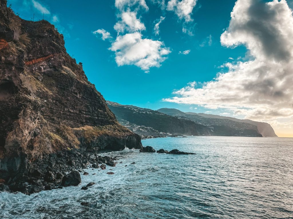
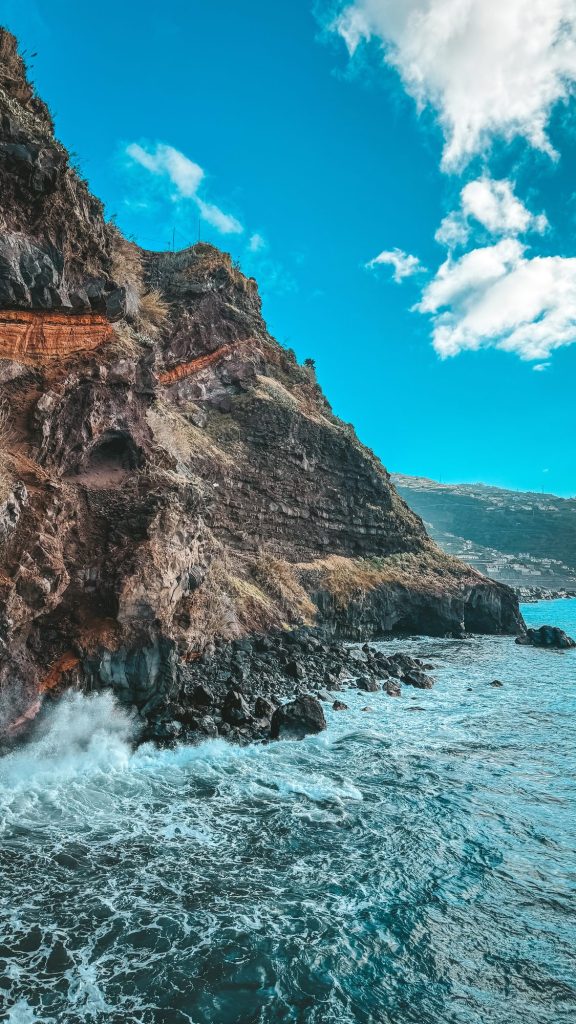
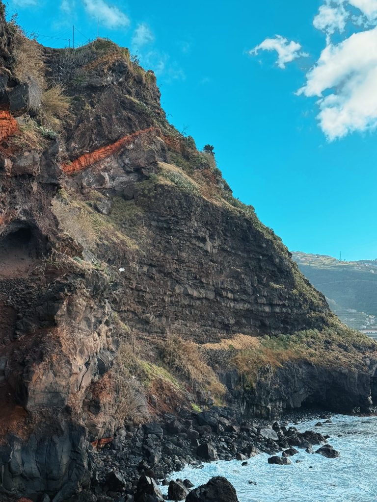
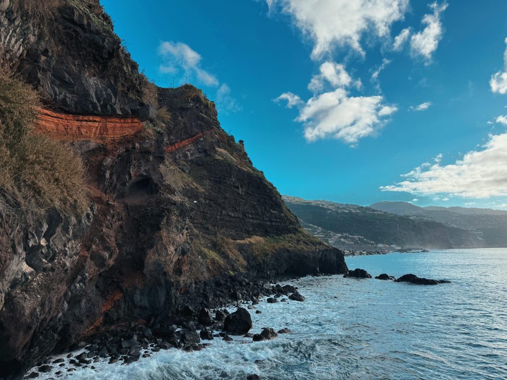
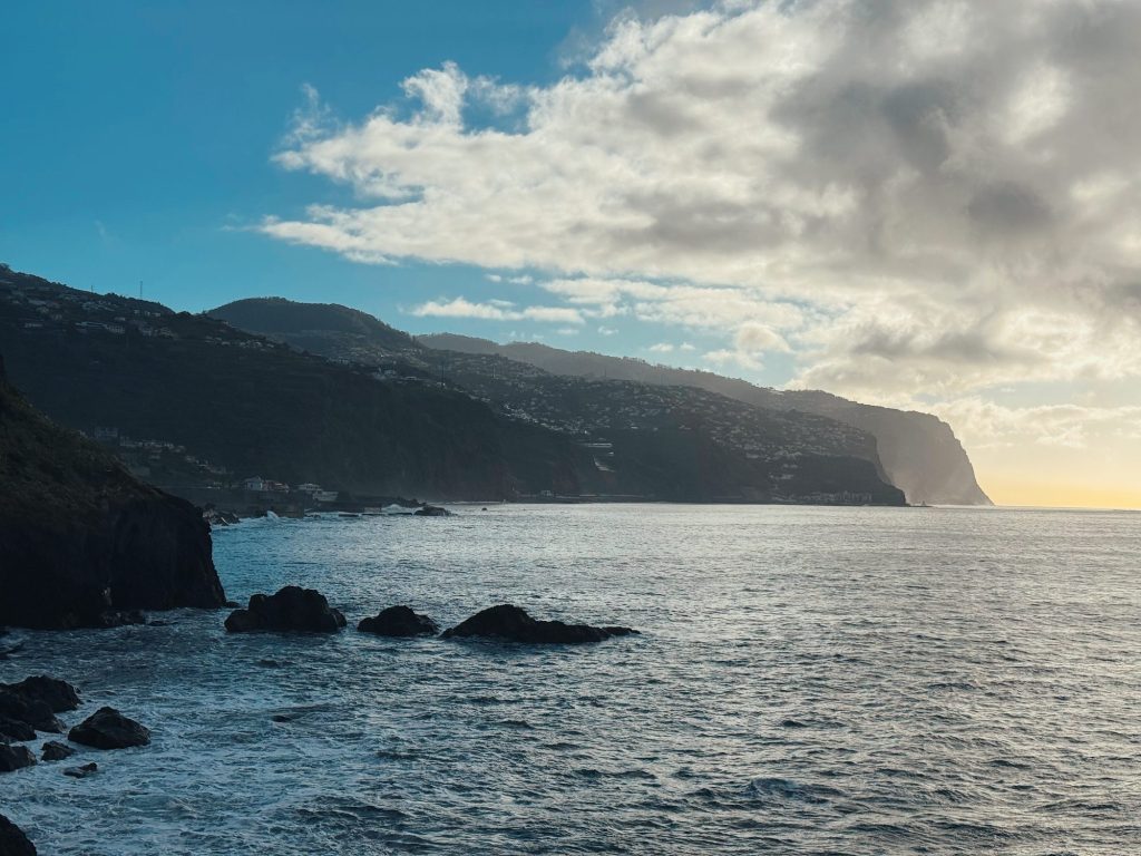
1: The cliff in Ponta do Sol, 2: A cliff above the sea in Ponta do Sol, 3: Rock layers in the cliff, 4: The cliff and coastline in Ponta do Sol, 5: The coast near Ponta do Sol. Photos: Ewelina Podrez-Siama 2026
Festivals in Ponta do Sol
- Aqui_Acolá – an arts and traditions festival in May, always starting on Ascension Day: music, theatre, cinema and balloons by the beach (in 2026: 14–17 May).
- Festas da Ponta do Sol – concerts from the end of August to 8 September (in 2026: 28 August–8 September).
- Festa de Nossa Senhora da Luz – 8 September, the municipality’s holiday: celebrations in the parish church and a brass band.
- Vila Natal – Christmas lights and events in December and early January.
MadeiraDig, the December electronic music festival that was the town’s calling card for 20 years, was held for the last time in 2024.
A half-day plan
- Morning coffee on the promenade and a stroll past the colourful houses.
- Through the basalt arch onto the 1849 quay.
- Nossa Senhora da Luz church and its mudéjar-style ceiling.
- On weekdays, the John Dos Passos Cultural Centre.
- The lagoon and banana museum in Lugar de Baixo, then by car through Canhas up to Paul da Serra and on to Fanal.
For more sightseeing ideas, see Things to do in Madeira: 20 attractions and a 7-day plan.
Ponta do Sol: frequently asked questions
Where is Ponta do Sol in Madeira?
On the south-west coast, between Ribeira Brava and Calheta, about 25 km from Funchal. By car it takes just under half an hour on the VR1 and VE3.
Is there a beach in Ponta do Sol?
Yes. It’s a pebble beach, about 160 m long, with changing rooms, toilets and a bar. In season (in 2026 from 10 June to 14 September) lifeguards are on duty.
How do I get to Ponta do Sol by bus?
The easiest is SIGA Rodoeste line 380: daily at 10:00 from Funchal, arriving in Ponta do Sol at 11:05. Back on line 381 at 18:30 on weekdays and at 17:45 at weekends. A ticket from the driver costs €2.65, cash only.
Is Cascata dos Anjos open?
No. The old road below the waterfall has been officially closed since the end of 2016 because of rockfalls, and walking to the waterfall is prohibited. There have been fatal accidents there.
Is Ponta do Sol the sunniest place in Madeira?
That’s what people say, but there’s no sunshine data. What is certain is that the Lugar de Baixo weather station near Ponta do Sol is the warmest in Madeira: an average of 21°C in 2012–2025.
What links Ponta do Sol with John Dos Passos?
The writer’s grandfather came from Ponta do Sol. His relatives’ former house is now the Centro Cultural John dos Passos, with an exhibition about the writer, open Monday to Friday.
Want to see my guides more often on Google?
Add madeira-planner.com as a preferred source on GoogleData checked 25 October 2026.
Sources I used (30)
- Municipality and statistics: Ponta do Sol municipality; Visitar Ponta do Sol; INE – 2021 census; DREM – temperature 2000–2025; DREM – sunshine hours; Centro Cultural John dos Passos; tourist tax
- Visit Madeira: Ponta do Sol; Cais da Ponta do Sol; Nossa Senhora da Luz church; the beach; Lagoa do Lugar de Baixo; Cascata dos Anjos; Paul da Serra; Museu da Banana
- Regulations, roads and transport: Portaria 206/2026 – bathing areas; DRE – closed roads; SIGA – 380/381 timetable; SIGA – tickets; Digital Nomads Ponta do Sol
- Media and events: DNoticias – Blue Flags 2026; DNoticias – Estrada dos Anjos; DNoticias – Anjos 2024; Times of Madeira – tunnel project; Times of Madeira – marina; DNoticias – banana museum; DNoticias – ER105; Aqui_Acolá; Festas da Ponta do Sol 2026; MadeiraDig – the end of the festival